Experienced Locating. Aerial Intelligence.
Led by Justin Hort, Operations Director and Damage Prevention Expert, Tracer Underground provides dependable contract and private utility locating, mapping, and excavation support throughout Maine and the New England area.
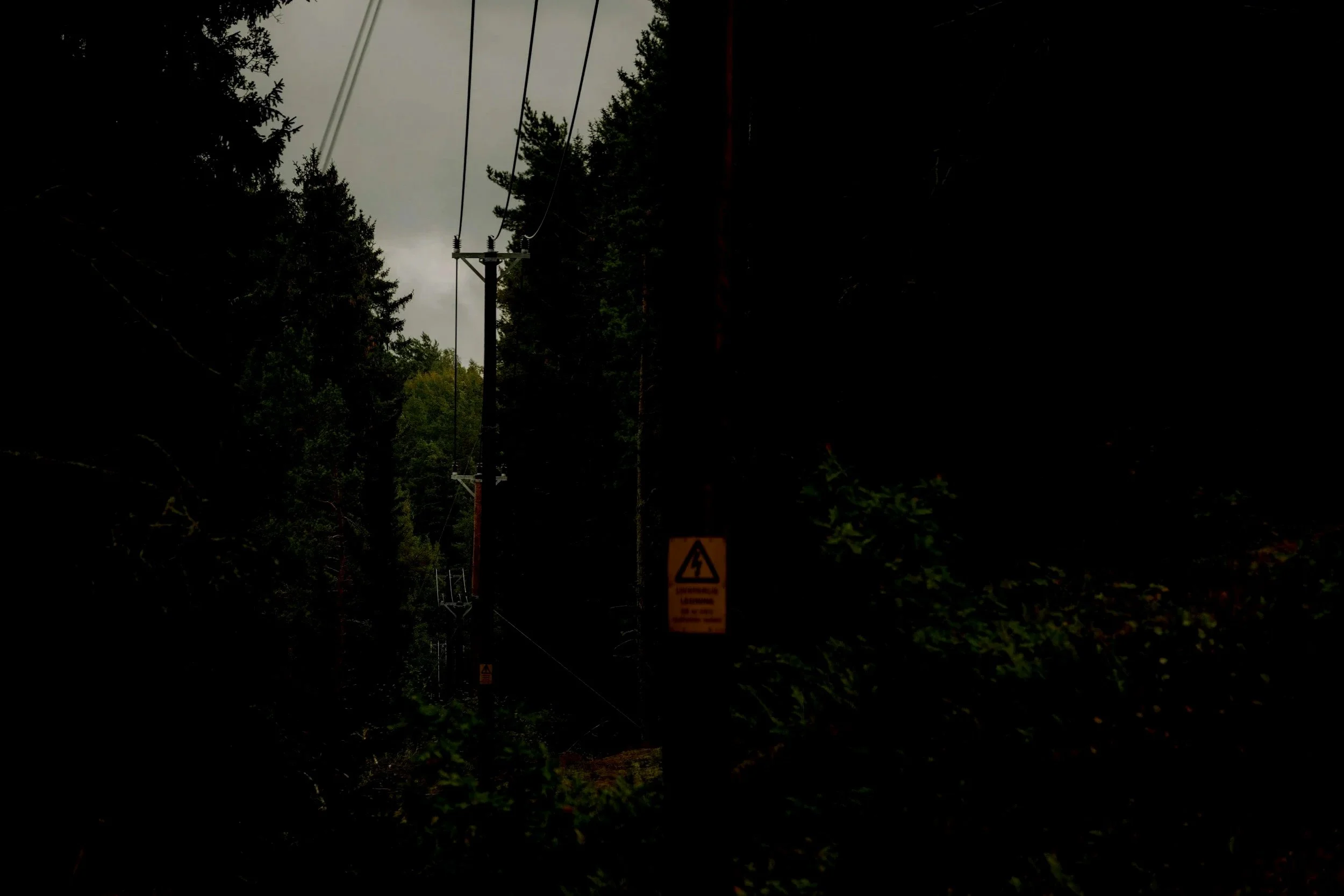
Russell Brimhall, our Aerial Operations Director and FAA-certified drone operator, provides services and manages operators that are focused on delivering efficient site visibility, thermal imaging support, utility corridor documentation, and utility condition surveying, including imaging that can help identify potential utility degradation concerns such as overheating electrical components, stressed lines, or vegetation-related risk areas.
Bangor Area Locating Specialists
24/7 Emergency Locates
Aerial Mapping and Thermal Surveillance